


Tribal Water department monitors water, confident in science
Megan Strickland
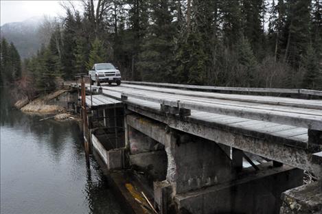
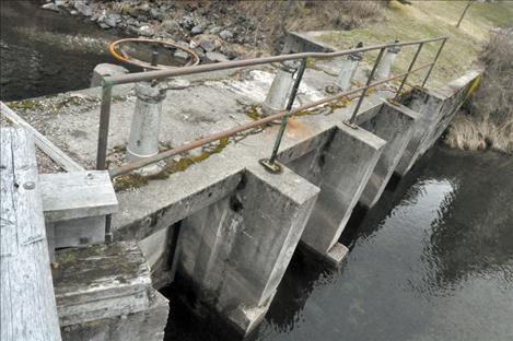
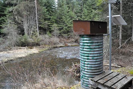
Irrigation headworks at the Pablo Feeder Canal are monitored by the Confederated Salish and Kootenai Tribes and could be impacted by a proposed water compact pending before the legislature.
Megan Strickland
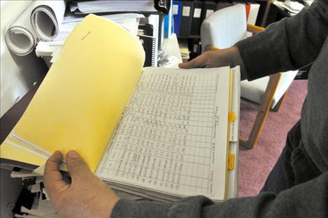
Each water monitoring site has an extensive handwritten file that contains troves of metadata.
Megan Strickland
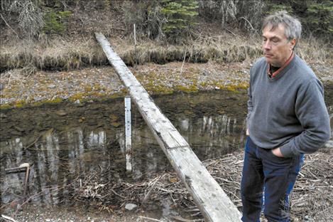
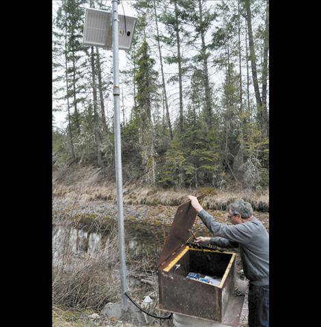
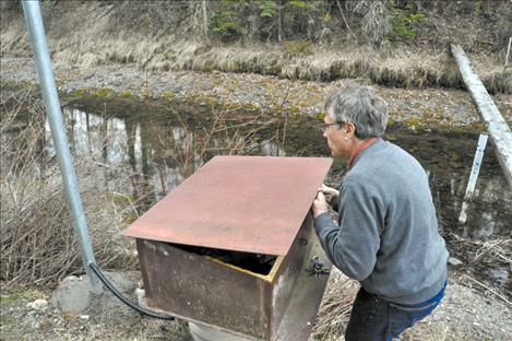
Tribal hydrologist Seth Makepeace stands near part of a water measurement system in Pablo
Megan Strickland
Megan Strickland
Megan Strickland
Megan Strickland
Megan Strickland
Megan Strickland
Keep Reading!
You’ve reached the limit of 3 free articles - but don’t let that stop you.