


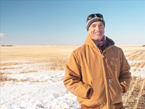
MSU assistant professor Eric Sproles was interviewed on Jan. 2 by CBS News about the “snow drought” in the western U.S.
courtesy photo
MSU assistant professor Eric Sproles was interviewed on Jan. 2 by CBS News about the “snow drought” in the western U.S.
Hey savvy news reader! Thanks for choosing local.
You are now reading
3 of 3 free articles.
News from the Dept. of Natural Resources and Conservation Service
BOZEMAN — “Warm temperatures and lack of precipitation over the last couple months have resulted in a bleak start to the seasonal snowpack in Montana and northern Wyoming river basins,” said Eric Larson, USDA Natural Resources Conservation Service (NRCS) Water Supply Specialist. Water year 2024 began with a mid-October snowstorm that brought about two to five inches of precipitation to part of northern Wyoming and southern Montana. Totals from that storm were less across the rest of Montana, particularly in the northwest where river basins such as the Kootenai, Lower Clark Fork, Flathead, and Saint Mary only received less than an inch of precipitation and less than half of their normal October precipitation.
“Precipitation was largely absent during November and December, except in northwest Montana which received reasonable precipitation during the first half of November and December,” said Larson. Two-month precipitation in that region was about 75% to 100% of normal. SNOTEL sites in the northern Whitefish Mountain Range received about 130% of normal precipitation over the two months. Across the rest of the region November and December precipitation was about 40% to 60% of normal, except in the Bighorn Mountains and Helena area where precipitation was about 35% to 45% of normal.
Water year precipitation currently ranges from about 55% to 80% of normal on the west side of the Continental Divide to about 100% to 115% of normal in the Bighorn, Powder, and Tongue River basins, “which is only above normal because of the large mid-October storm,” said Larson. Water year precipitation has been lowest in the Sun, Teton, and Marias River basins at about 50% of normal. Central, southcentral, and southwest Montana have received about 65% to 80% of normal precipitation since Oct. 1.
As of Jan. 1, 2024, Montana’s seasonal snowpack ranges from about 25% of normal in Sun, Teton, and Marias River basins to about 75% of normal in the Bighorn, with most basins reporting less than 60% of normal snowpack conditions. The maximum snow depth across the region is currently about 36 to 38 inches in Glacier and Yellowstone National Park and surrounding areas, which is about 10 to 12 inches of snow water equivalent and is 60% to 80% of normal. In addition, “about 110 of 175 NRCS snow stations measured on January 1 are reporting their lowest or second lowest snowpack on record. Some of those records date back nearly 90 years,” said Larson.
There are three to four months remaining in the normal snowpack accumulation season. Current snowpack deficits are generally about two to four inches, with a couple exceptions at upper elevations in Montana where deficits are closer to seven to nine inches of snow water equivalent below normal. “It would take a major change in what the last couple months brought for weather, but it’s still early and current deficits could be recovered in a couple large storms,” said Larson. Regardless winter weather needs to arrive soon. The further winter progresses with below normal precipitation, the more challenging it will become to make up from a lack of snow.
A full report of conditions on Jan. 1 can be found in the monthly Water Supply Outlook Report available on the Montana Snow Survey website. In addition, real-time snow survey data can be found at: nrcs.usda.gov/montana/snow-survey.