


Recent precipitation improves snowpack conditions, more snow needed
courtesy photo
Montana SNOTEL site
Keep Reading!
You’ve reached the limit of 3 free articles - but don’t let that stop you.
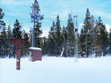
courtesy photo
Montana SNOTEL site
You’ve reached the limit of 3 free articles - but don’t let that stop you.
Sponsored by: