


City, tribes share history along lakeside path
Linda Sappington
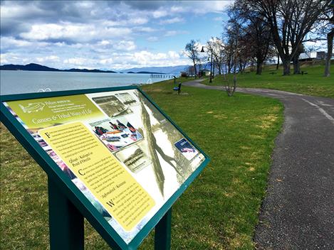
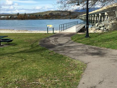
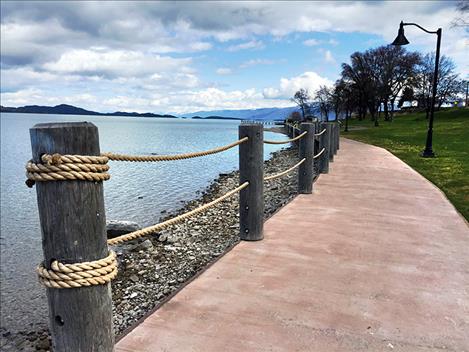
More than a dozen interpretive signs are posted along the walking path between Salish, Sacajawea and Riverside Parks in Polson.
Linda Sappington
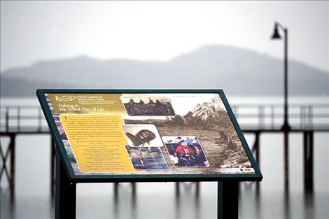
Fishing culture and history is explained in a sign near the West Pier.
Linda Sappington
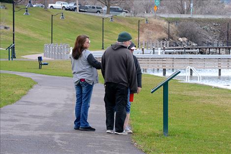
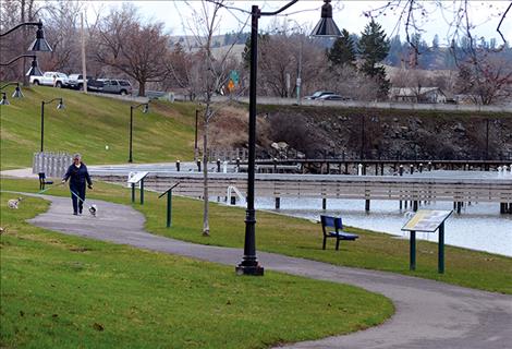
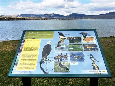
Folks stop to read one of the informative signs at Sacajawea Park Thursday afternoon.
Linda Sappington
Linda Sappington
Linda Sappington
Linda Sappington
Linda Sappington
Linda Sappington
Linda Sappington

Linda Sappington
Linda Sappington
Hey savvy news reader! Thanks for choosing local.
You are now reading
1 of 3 free articles.
POLSON — Exploring local history is merely a walk in the park along the new Polson Interpretive Trail.
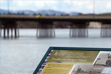
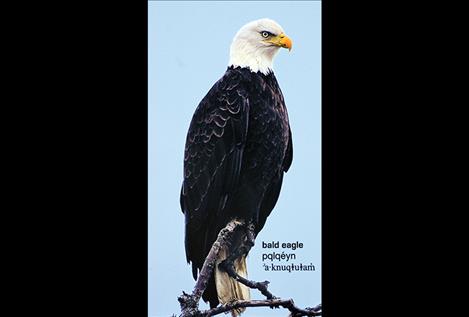
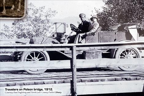
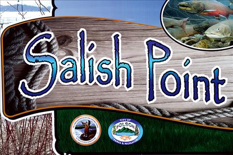
More than a dozen weather-resistant signs posted along the paved path bordering Flathead Lake in the Salish, Sacajawea and Riverside Parks depict tribal and city history through words and historic photos. The educational information explores tribal ways of life with canoeing and fishing, the building of the bridge Flathead River, birds of Flathead Lake, steamboat history and names of visual landmarks — in Kootenai, Salish and English — on a panoramic lake view at the top of Salish Point Park.
The collaborative effort between the City of Polson and Confederated Salish and Kootenai Tribes has been in the making since 2014.
The inertia for the project came from Jules Clavadetscher, former city councilman and mayor, according to Tom McDonald, division manager for the tribes’ fish, wildlife, recreation and conservation division. McDonald served on the Salish Point committee with Clavadetscher. “He was the original cheerleader, and it didn’t take long for all of us to jump in,” McDonald said. “It’s all part of embracing the lake, history, environment — it is so rich, so it was pretty easy to get everybody on board.”
Input was gathered from numerous sources, such as cultural experts with the Salish, Kootenai and Pend d’Oreille tribes, including historian Thompson Smith, wildlife expert Germaine White and cultural language specialist Tony Incashola. Newspaperman and author Paul Fugleberg contributed photos and historical facts. “There was a lot of different history and resources,” Mc-Donald said. And the history isnt’ sugar-coated, he said. “It is represented very fairly and accurately.”
Decisions on content and photos resulted in numerous drafts, designs, and revisions. Initially, the project was slated to be completed in one year, according to Polson City Manager Mark Shrives.
“It was a long process for a lot of reasons,” Shrives said. “In the end, it came out as a really nice project.”
Funding came from a variety of sources, fundraisers and grants. The Polson Redevelopment Agency chipped in funding, the tribes contributed $5,800, the Greater Polson Community Foundation pitched in $15,000, the Lower Flathead Community Foundation contributed $5,000, and committees held fund-raising events, according to Shrives and McDonald.
The installation was done by the city.
A few more signs are still under construction, and are expected to be up on the West Pier and under the bridge, prior to the ceremony honoring the project’s completion, which is in the works for Memorial Day weekend.
Visitors and locals alike can now enjoy the stroll and learn a bit, too.
“It’s a value-added thing: it’s something to do in town, and an educational tool for all the people that enjoy the waterfront,” McDonald said.